
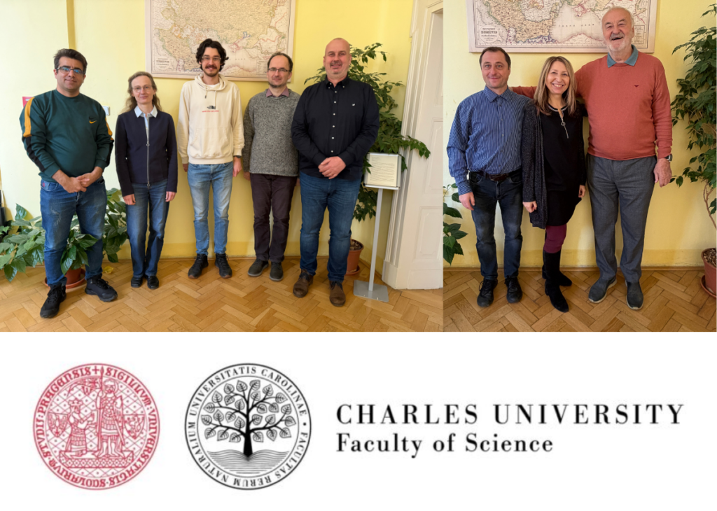
From left to right: Khalil Gholamnia, Markéta Potůčková, Hugo Majer, Zdeněk Kučera, Vít Jančák, Přemysl Štych, Lucie Kupková, Ivan Bičík
The team of Charles University is composed of researchers from two departments of the Faculty of Science.
The team from the Department of Applied Geoinformatics and Cartography (Lucie Kupková, Markéta Potůčková, Přemysl Štych, Khalil Gholamnia and Hugo Majer) has expertise especially in the analysis of remote sensing data (UAV, aerial, satellite) using advanced machine-learning and deep-learning methods. Their work focuses on applications in landscape-change assessment (land cover change), analysis of vegetation condition (in connection with climate change) mainly in forest ecosystems and the relict Krkonoše tundra, on the evaluation of urban environments including suburbanisation, and prediction of future development.
The team from the Department of Social Geography and Regional Development (Ivan Bičík, Vít Jančák and Zdeněk Kučera) focuses on socio-cultural aspects of landscape assessment, land-use change and its driving forces, as well as on research related to rural areas and agriculture systems. The combination of both teams enables a comprehensive assessment of landscape changes, land use/land cover dynamics and their driving forces, as well as modelling of future developments in the context of socio-economic, institutional and climate change.
Within the Europa-LAND project, both teams primarily contribute to WP4. They focus on the Assessment of land use and land cover (LU/LC) change spatial modelling tools and databases, considering impacts of climate change, mitigation potential and biodiversity, within which the teams created a database of existing LULC patterns and datasets, a database of available spatial modelling tools, as well as cards and success stories on these modelling tools.
The team also maintains the LUCC Czechia database, containing data on the cadastral level for five time horizons from 1845 to 2020. Another task is to test modelling tools at the local level, to develop indicators of land-use transformation towards sustainable transition, and to contribute to other work packages of the project.