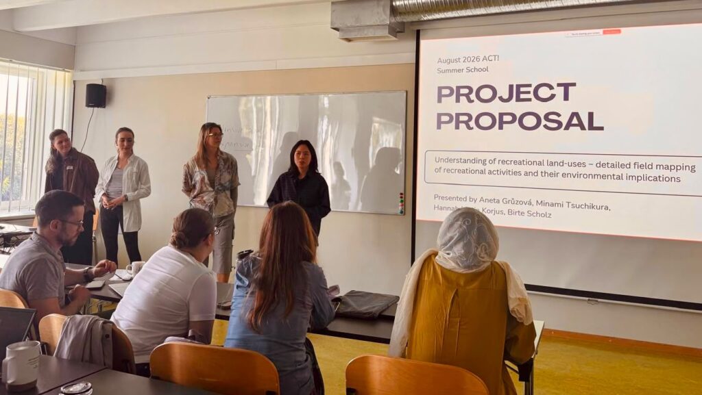
The ACT! Summer School – Observation, Modelling and Acting for Sustainable Land-Use in the Context of Climate Change and Biodiversity took place from 10 to 17 August 2026 at the Estonian University of Life Sciences (EMU) in Tartu, Estonia. The interdisciplinary, research-intensive learning event brought together 36 early-career researchers from 20 countries to explore land-use and land-cover change and approaches towards more sustainable land-use.
The event was organised by the Estonian University of Life Sciences in collaboration with Hamburg University of Applied Sciences and the Baltic University Programme (BUP) Coordinating Secretariat, within the framework of the EU-funded Euroopa-Maa ja SUNRISE projects and with contributions from the CS4Change project.
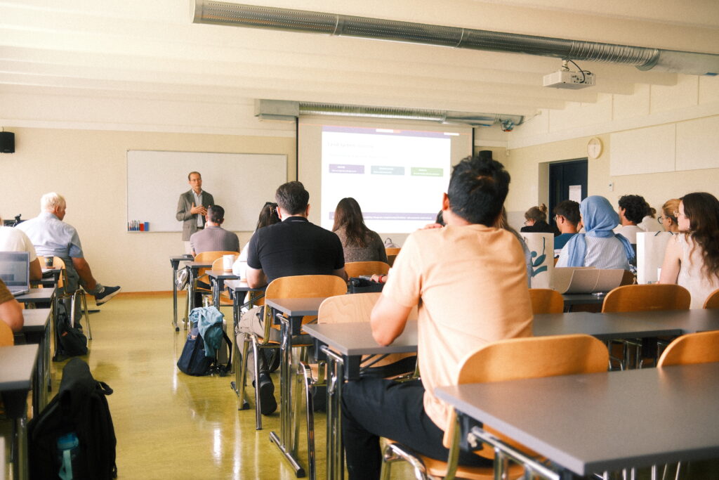
The first three days of the ACT! Summer School provided participants with a broad interdisciplinary foundation in land-use and land-cover change. Through lectures, parallel sessions and hands-on methodological training, they explored different approaches to observing, modelling and understanding changing land systems – from remote sensing and spatial data analysis to land-use modelling, policy analysis and Living Labs.
“The 8-day summer school in Tartu was a really nice mix of learning, working together, and meeting new people. We covered different topics around land use, including 3D remote sensing data and an introduction to the Europe-LAND toolbox.
– Phillip, University of Milan
For the group work, I joined Dr. Lukasz Nazarko to refine a scenario exploration game about land use change on Saaremaa Island, which was a fun way to approach complex land development topics.”
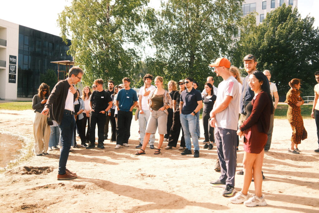
Building on this input, the participants moved from learning to applying their newly acquired knowledge. They formed interdisciplinary research groups and developed research proposals addressing concrete land-use challenges in and around Tartu. Following a field excursion, the groups spent three days conducting collaborative research, combining different methods, perspectives and disciplinary backgrounds.
“The summer school was an amazing experience that introduced me to European ecosystems for the very first time. It gave me valuable new perspectives and approaches that I am very excited to apply to my research back home in Brazil.”
– Camila, Federal University of Paraná
The group work was designed to connect theoretical and methodological training with practical research. The projects resulted in concrete research outputs and, in several cases, laid the foundation for further collaboration between participants and faculty beyond the Summer School. Some groups are continuing to develop their work, including towards potential research publications.
The research-intensive format helped connect lectures and methodological training with collaborative application. […] The international composition of the participant and faculty groups supported exchange across disciplines, institutions and national contexts.
The organiser
The group work produced concrete research outputs and established new collaborations between participants and faculty. Several groups continued developing their work after the Summer School, including towards potential research publications. In particular, the Living Lab group developed and tested a framework for applying Living Lab approaches in research training, with a related publication under development.
The following projects illustrate the range of questions, methods and perspectives that emerged from this collaborative research:
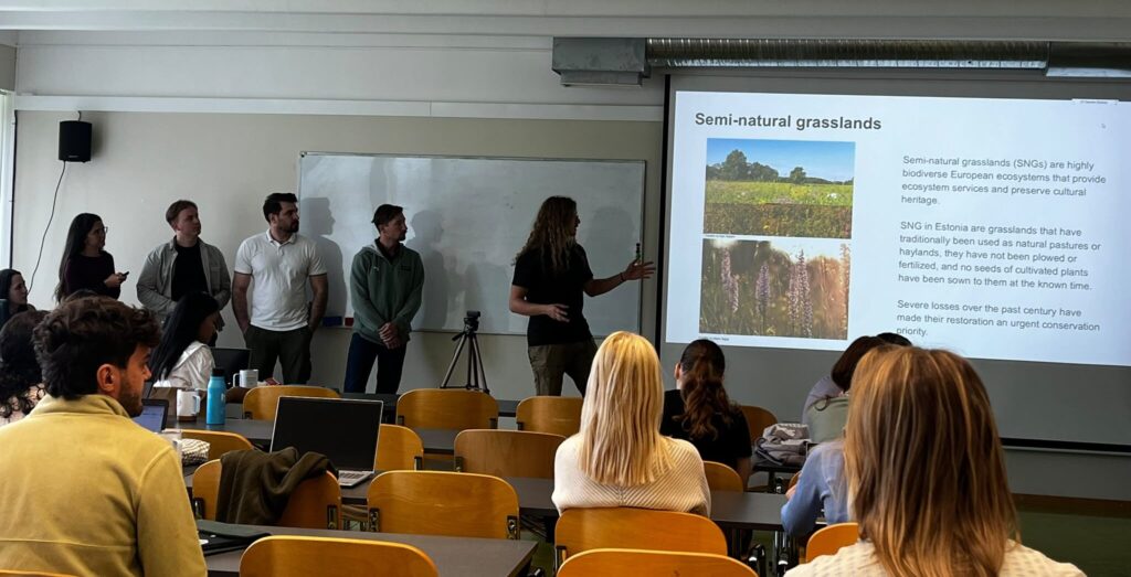
Group 1: IACS vs. remote sensing data – verification of reported agricultural uses and management implications
Group 1 explored the future of Estonia’s semi-natural grasslands. Once widespread across the country, these species-rich habitats have declined dramatically over the past century due to agricultural intensification and land abandonment. The students explored how satellite data, remote sensing and Google Earth Engine can help identify and monitor these changes, while highlighting that effective conservation ultimately depends on combining technological solutions with field-based knowledge, adaptive policies and sustainable funding.
Group 2: Auditing and helping a living lab – ecosystem disservices living lab in Tartu
What can researchers learn when they work directly with the people affected by an environmental challenge? Group 2 explored the Slug Stop Living Lab in Tartu, a participatory initiative bringing together residents, researchers, land managers, technology developers and public authorities to develop practical responses to Spanish slug invasions.
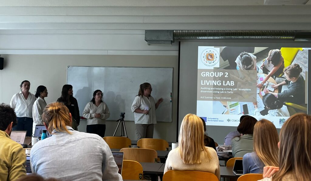
Students in Group 2 looked at how citizen science, field observations and digital tools can be combined to map slug occurrences and potential habitats. Participants explored approaches including GPS- and GIS-based mapping, environmental observations and the testing of monitoring tools, highlighting how Living Labs can connect scientific knowledge with local experience and practical action.
To bring their findings together, the students created a website summarising the results and insights from their work.
Group 3: Restoration and Re-use of former military areas – Good and Bad Practices in Tartu
The group explored the transformation of Raadi’s former military airbase in Tartu. Focusing on temporarily vacant and brownfield areas, they examined vegetation dynamics, water management and ecological infrastructure. Their analysis highlighted the potential of energy crops such as willow and poplar to create natural drainage buffers and make productive use of vacant land.
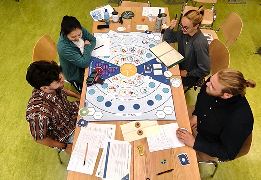
Group 4: Development of land-use governance serious game – Application of Land Europe approach in the Estonian context
Using a Serious Game and Scenario Exploration System, Group 4 explored how the expansion of renewable energy infrastructure could shape the future of Saaremaa Island. By combining different policy and development pathways, the group developed four possible scenarios for the island’s land-use future and explored their potential trade-offs and implications for ecosystems, farming and local communities.
Group 5: Drones for understanding and mapping of wetland ecosystems
Wetlands are important ecosystems for biodiversity and carbon storage, but monitoring their changing vegetation can be challenging. Group 5 compared two wetland sites in Estonia using high-resolution UAV imagery and Sentinel-2 satellite data, applying vegetation indices and machine-learning methods to classify land-cover patterns. The analysis revealed differences between the two sites and showed that combining drone and satellite data can provide valuable insights into wetland vegetation and land-cover changes.
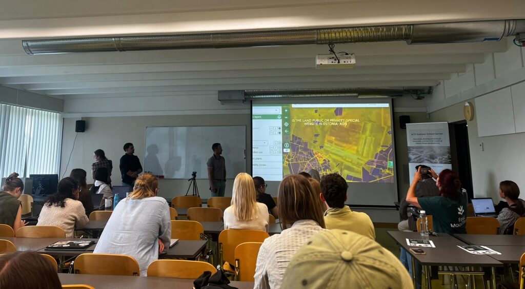
Group 6: Understanding of Recreational Land-uses – Detailed field mapping of recreational activities and their environmental
implications
The students investigated how different age groups use the Anne Canal, mapping activities across different locations and time periods. The analysis revealed distinct patterns in the distribution and diversity of activities. While some areas attracted particular groups and activities, others showed a more diverse mix of users. These findings provide a basis for evidence-based planning of the canal, with the potential to improve accessibility, support recreational use and reduce conflicts between different user groups.